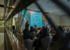
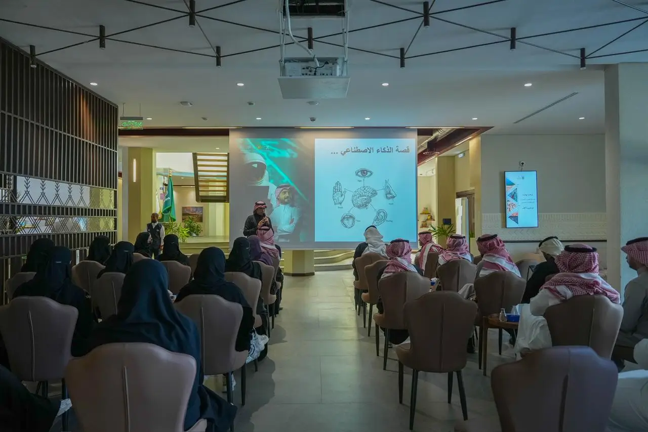
أقيمت ورشة عمل بعنوان «الذكاء الاصطناعي في بيئة العمل» في هيئة تطوير منطقة عسير، قدمها الدكتور علي القحطاني، مدير مركز الذكاء الاصطناعي في جامعة الملك خالد، واستهدفت موظفي الهيئة.
وتهدف الورشة إلى تعزيز مهارات الموظفين الرقمية والمعرفية بتطبيقات الذكاء الاصطناعي بما يتوافق مع استراتيجية الهيئة للتحول الرقمي، بالإضافة إلى رفع مستوى الهيئة في المؤشر الوطني للذكاء الاصطناعي.
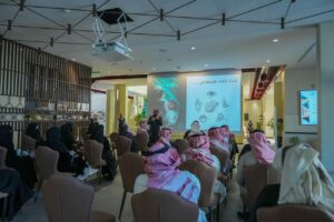
وتناولت الورشة عددًا من المحاور، شملت بناء الفهم العميق لمفاهيم الذكاء الاصطناعي، والانتقال من المعرفة النظرية إلى التطبيق العملي في بيئة العمل، إضافة إلى مناقشة آليات تبني الحلول الذكية على مستوى المؤسسات.
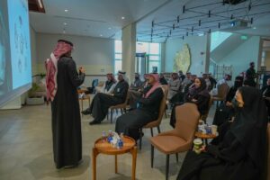
وشهدت الورشة تفاعلًا من المشاركين، مع طرح نماذج وأمثلة تسهم في دعم التحول الرقمي ورفع جاهزية الكوادر للتعامل مع التقنيات الحديثة، بما يواكب مستهدفات التطوير المؤسسي.